Calgary pathways put river parks and neighbourhoods within your day out. Pick a short stretch and confirm skateboard access before you ride.
Start with the Bow River, choose a bank and a turnaround, and leave room for a park stop. Its connections reach the Elbow River network and parks beyond downtown. For the wider picture, use the Calgary guide to planning an active visit.
Calgary pathways at a glance
Start with a short, documented segment rather than treating the whole network as one continuous skating route. The City publishes route distances and pathway rules, but those details do not establish skateboard permission or today’s surface conditions.
| Route or network detail | Published value and planning use |
|---|---|
| City-maintained regional pathways | Approximately 1,000 km; use the official map to select a section. |
| Winter snow clearing | Approximately 400 km of paved regional pathways, usually within 24 hours of snowfall. |
| Carburn Park loop | 3 km; the City describes it as paved and flat. |
| Pearce Estate Park to Inglewood Bird Sanctuary | 4 km; washrooms at both ends and a traffic crossing at 9 Avenue. |
| Shannon Terrace to Voltier’s Flats | 11 km on the City’s suggested-route list. |
| Pathway speed limit | 20 km/h unless otherwise posted; conditions may require much slower travel. |
Conditions and hours can change; check the official page for your route before leaving. The network, clearing and speed figures come from the City of Calgary pathways overview; the segment details come from its self-guided pathway routes.
Can you skateboard or longboard on Calgary pathways?
The bylaw allows wheeled conveyances the City designates; confirm skateboard or longboard access with the City’s parks and pathways guidance or 311. The available pathway guidance does not explicitly settle the designation of skateboards, so this guide cannot give you a blanket yes or no.
Make your question specific: name the pathway section and say whether you mean a human-powered skateboard, longboard or powered board. A cycling route description or a photograph of someone riding is not confirmation for your equipment. Follow posted restrictions and carry your board whenever access is unclear.
Choose your route before deciding which board to carry. The cruiser and longboard comparison can help you think about the board you want to carry and ride, but no equipment choice changes local access rules. If practising tricks is the main purpose of your outing, use the Calgary skatepark guide for a dedicated session to plan that part of the day.
Bow River: downtown parks, bridges and RiverWalk
The Bow River corridor connects several central outdoor destinations, making it useful for a route with optional stops. Choose your bank, crossing and turnaround point before setting off, then check those choices against the official pathway and bikeway map.
Prince’s Island Park and Eau Claire
Prince’s Island Park covers 20 hectares and has published hours of 5 a.m. to 11 p.m. The City’s park page gives the address as 4 Street and 1 Avenue SW and points to Eau Claire area construction detours, so check that notice before planning your approach.
Set your destination to Prince’s Island Park, then use the City map to choose your pathway approach.
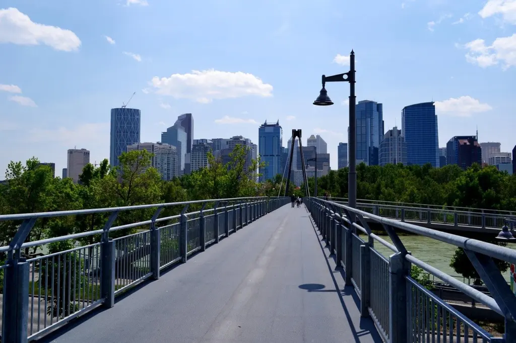
Peace Bridge
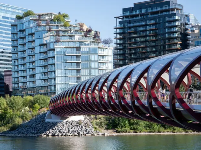
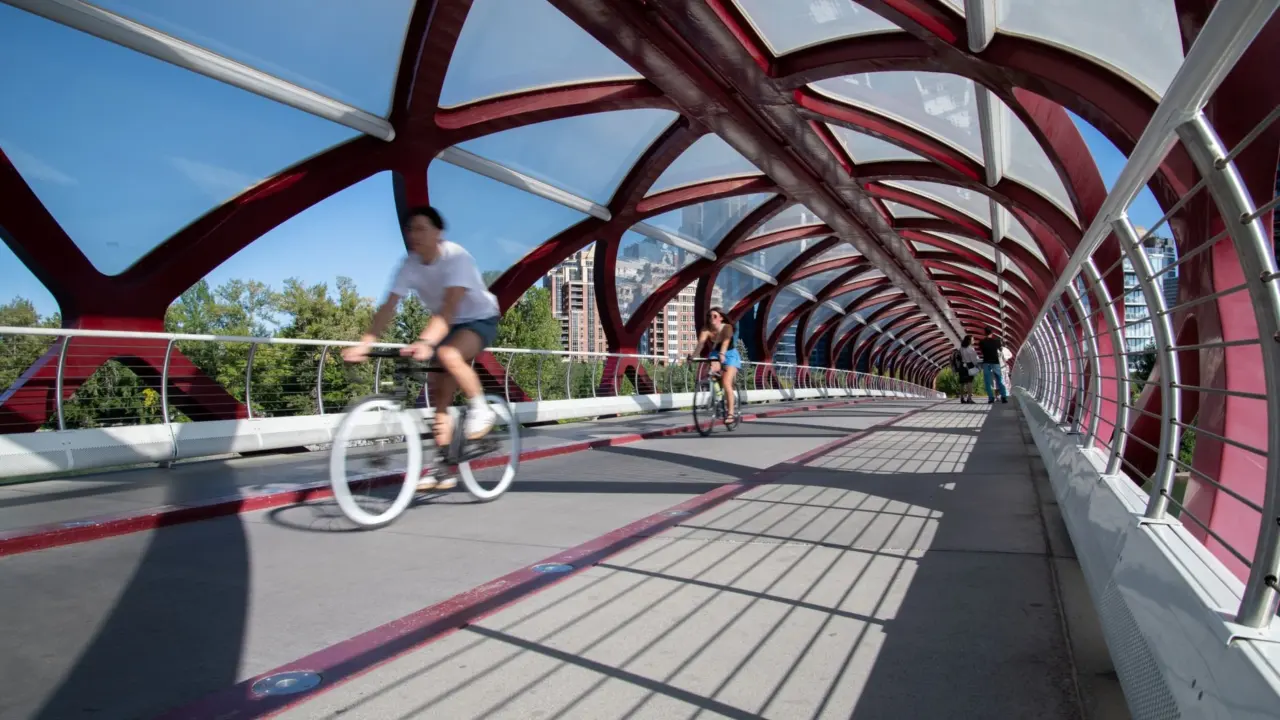
Peace Bridge links the downtown Eau Claire side of the Bow with Sunnyside. Its location and pedestrian/cycle function are documented in the Peace Bridge reference; the bridge opened on March 24, 2012. Use Peace Bridge on Google Maps as a crossing landmark, not as proof of skateboard permission.
Approach any busy bridge ready to slow down or dismount. Wait for a clear gap instead of weaving around people stopping for photographs. If you are meeting friends, choose a spot clear of the crossing so the group does not block people coming off either end.
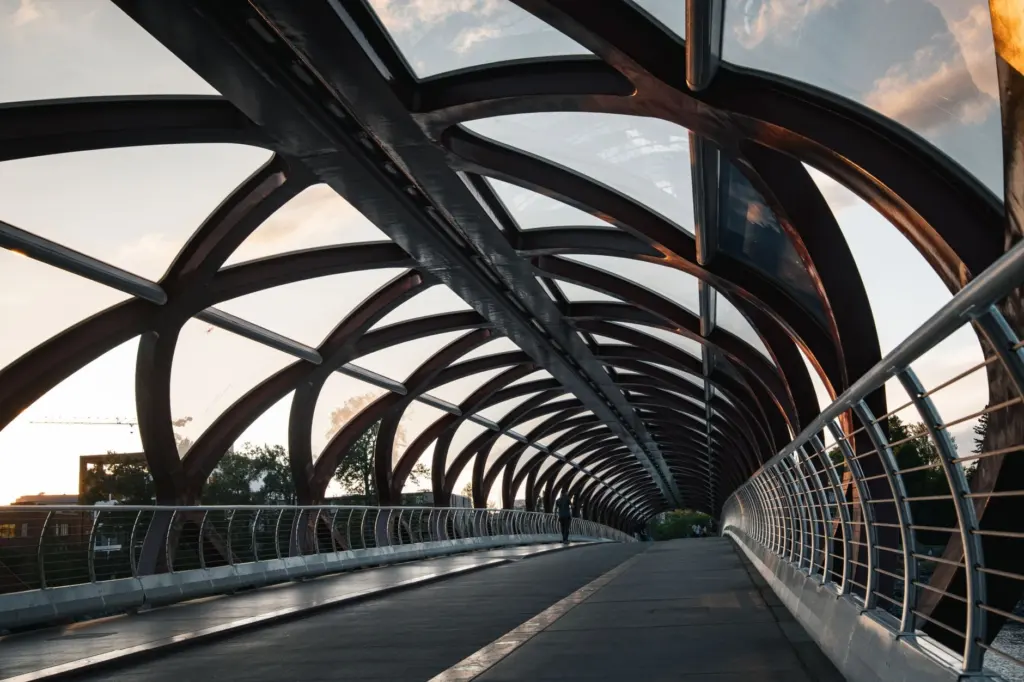
East Village RiverWalk
The Jack and Jean Leslie RiverWalk is on the Bow’s south bank in East Village, as described in the East Village overview.
For a RiverWalk outing, choose a turnaround you can identify on the City map before setting off.
Shorter segments and the Elbow River connection
Carburn Park and the Pearce Estate–Inglewood route have specific City-published distances, while the Elbow River needs more route-by-route checking. Use the documented segments when distance matters, and avoid assuming that every riverside connection has the same surface or access rules.
Carburn Park: a documented 3 km loop
The City describes the Carburn Park loop as flat and paved, and recommends it for cycling and in-line skating practice. That is useful surface information, although it does not resolve skateboard access. Before heading to Carburn Park, check the route description and choose your starting point.
On a permitted cruise, use the first circuit to assess the surface, passing room and places where you would need to step off.
Pearce Estate Park to Inglewood Bird Sanctuary
This City-listed route is 4 km, with washrooms at both ends and a warning to watch traffic at the 9 Avenue crossing. Save both Pearce Estate Park and Inglewood Bird Sanctuary as map references. A route ending at the sanctuary does not establish wheeled access within it.
Treat the road crossing as a deliberate stop in your plan. Check traffic and signs, carry the board when needed, and avoid letting a group spread into the crossing.
Elbow River and longer extensions
The Bow River pathway overview records connections with the Elbow River pathways. It does not provide enough detail here to promise an Elbow loop length, continuous surface or skateboard access.
For a longer park visit, Alberta Parks lists Fish Creek’s pathways as 44 km of paved path and 34 km of granular path. Those are network totals, not one route. The park’s advisories currently include Central Corridor Pathway construction, and Alberta Parks warns that hard-packed snow and ice are to be expected on its pathways in winter; consult park information before extending your outing.
Shared-use etiquette for cruising
Keep right, make passing predictable and travel slowly enough to respond to people ahead. The City’s good park user guide sets out pathway behaviour, including passing space and restrictions that matter even on a short outing.
- Respect the posted limit. The general pathway limit is 20 km/h unless otherwise posted. Treat that as a ceiling, not a recommended cruising speed.
- Pass only with room. City guidance calls for an audible signal and one metre of clearance. Do not pass at a double yellow line; wait if there is insufficient room.
- Stay predictable. Keep right except when passing. Leave broad carving and repeated trick attempts out of a shared travel corridor.
- Keep dog walking separate. The City says you cannot participate in a wheeled activity on a pathway with a leashed dog, with an exemption for disability devices.
- Plan for visibility. City guidance calls for visibility at night. If you cannot read the route or clearly see others, finish the ride or walk.
If stopping and turning still take your full attention, review longboard balance, pushing and turning basics before planning a shared-path outing. Choose a practice setting where your learning does not depend on strangers moving out of your way.
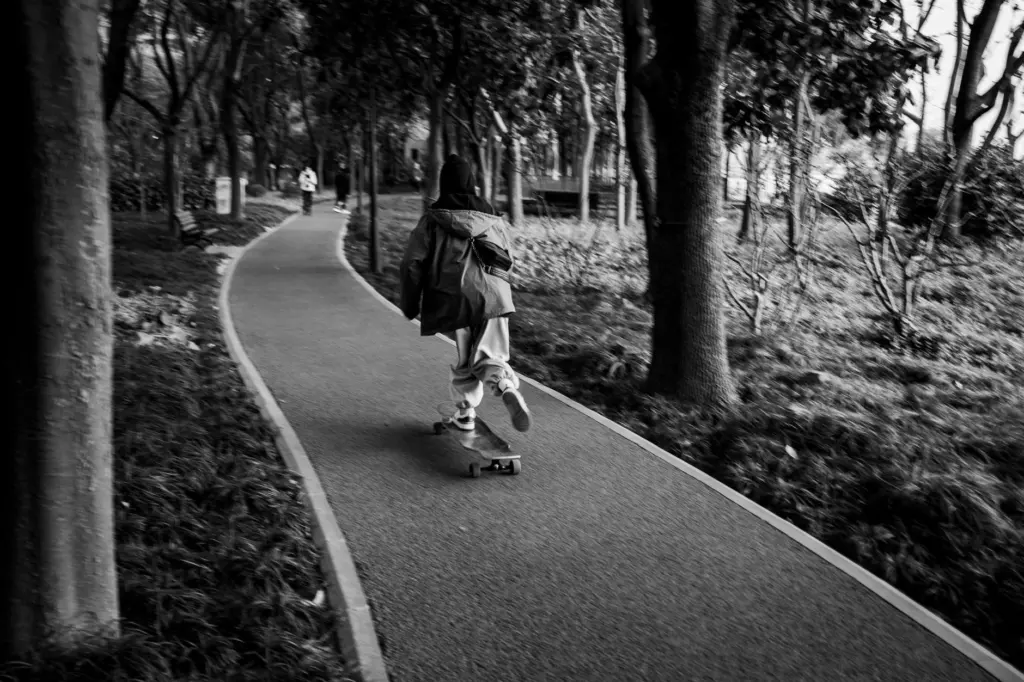
Winter-cleared pathways and changing river conditions
The City clears approximately 400 km of paved regional pathways, usually within 24 hours of snowfall. That service makes winter route planning possible, but it does not promise a dry, skateable surface on every cleared section.
Use the official pathway map to identify winter-cleared sections. Inspect the surface before putting your board down.
Walk any winter stretch where you cannot confidently stop, turn or keep your footing. The Calgary weather and chinook guide provides seasonal context; winter skateboarding options in Calgary can help you plan an alternative session.
River conditions also matter outside winter. The City’s river-access guidance warns about river hazards and advisories, and low-lying pathways can flood during high flows. Respect closures and turn back rather than trying to preserve a planned distance.
A practical check before you leave
Save your starting point, turnaround and return route. If you are with friends, agree that anyone can switch to walking or call for an earlier return.
Choose a pace that leaves you time to stop and a distance you can manage if you need to carry the board back.
Frequently asked questions
Which Calgary pathway has a short, flat route?
The City lists a flat, paved 3 km loop at Carburn Park. It recommends the route for cycling and in-line skating practice; confirm skateboard designation with the City or 311 before treating it as a longboarding option.
Are Calgary pathways cleared in winter?
Approximately 400 km of paved regional pathways receive City snow clearing, usually within 24 hours of snowfall. Check your particular section and its surface; clearing coverage does not establish that it is ready for skate wheels.
Can you take a skateboard across Peace Bridge?
Confirm riding permission with the City or 311. Peace Bridge is a pedestrian/cycle crossing, but that description alone does not settle skateboard designation. Be prepared to carry your board and follow signs.
Where can you find the official pathway map?
Use the City’s digital Pathways and Bikeways map linked above. Pair it with the suggested-route descriptions when you need a published distance.
Sources
City and Alberta Parks pages supply the route values and operating guidance; the secondary references identify the river corridor and downtown landmarks.
- City of Calgary: pathway network, speed and snow clearing
- City of Calgary: suggested routes and distances
- City of Calgary: digital pathway map
- City of Calgary: good park user guide
- City of Calgary: parks and pathways bylaws
- City of Calgary: Prince’s Island Park
- Alberta Parks: Fish Creek pathways and trails
- City of Calgary: river access and safety
- Wikipedia: Bow River pathway, general connections
- Wikipedia: Peace Bridge, location and opening
- Wikipedia: East Village and RiverWalk