Choose Calgary neighbourhoods around your session. Start with the Beltline for Cowboys Park and skate shops, or Kensington for time by the Bow.
Choose your base around the part of the day you care about most: the skate session, the river walk or a park visit. Start with the Calgary guide for outdoor days and getting around, then use this neighbourhood comparison to narrow your base.
Tourism Calgary’s neighbourhood overview supplies the visitor context below. General geography, landmarks and station names also draw on the linked Wikipedia references.
Compare six Calgary neighbourhoods
Choose Kensington or East Village for a Bow River focus, Mission for the Elbow, and the Beltline when Cowboys Park and the skate shops are your priority. Inglewood and Bridgeland add different park and walking options; compare the actual starting point with the station you intend to use.
| Neighbourhood and orientation | Active-day focus and CTrain reference |
|---|---|
| Kensington: Kensington Road and 10 Street NW | North-bank Bow pathway and Peace Bridge; Sunnyside Station on the Red Line. |
| Inglewood: 9 Avenue SE | Bow access and the 4 km Pearce Estate Park–Inglewood Bird Sanctuary route; no operating station within Inglewood. |
| Mission: 4th Street SW | Elbow River pathway and a food-stop base. |
| Bridgeland/Riverside: 1 Avenue NE | Bow pathway and St. Patrick’s Island paths; Bridgeland/Memorial Station on the Blue Line. |
| East Village: south bank of the Bow | Jack and Jean Leslie RiverWalk; City Hall/Bow Valley College is the named downtown station reference. |
| Beltline: roughly 9–17 Avenues SW, 14 Street SW to the Elbow | Cowboys Park just north in Downtown West, at 1220 9 Avenue SW; Ninetimes and The Source skate shops. |
The 4 km route comes from the City’s suggested pathway routes. Plan your journey with Calgary Transit. Conditions, hours and service can change; check the linked official pages before your visit.
Kensington: combine the Bow River with a compact outing
Kensington suits a day organised around the north bank of the Bow, with shops and cafés as optional stops. Sunnyside Station on the Red Line serves the area.
The district centres on Kensington Road and 10 Street NW, within Hillhurst and Sunnyside, just north of the river from downtown. You can check the district’s position in the Kensington overview. Tourism Calgary describes it as a place for a stroll, with vintage shops, cafés and restaurants.
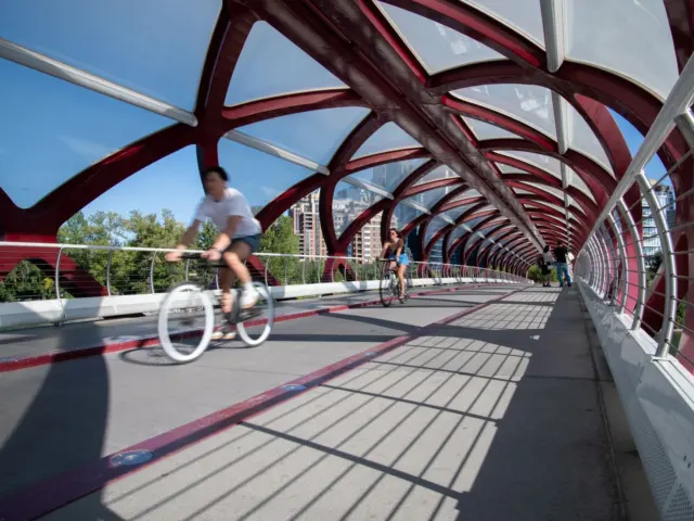
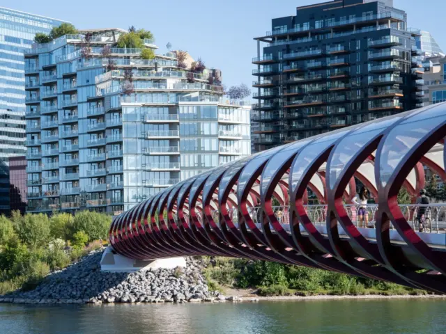
Build your outing around the north-bank pathway and the Peace Bridge connection to downtown. Choose your starting point in Kensington and the specific river approach before leaving.
Sunnyside Station is the verified Red Line stop for this area. The available station address details conflict, so navigate by station name.
If you have a board, make carrying it through shopfront areas part of the plan. A neighbourhood walk and a permitted pathway cruise are separate decisions: appealing river access does not establish skateboard access. The Bow and Elbow pathway planning guide explains the rules uncertainty and route checks.
Inglewood: make a park route the centre of the day
Inglewood is a good fit when you want to combine a defined park outing with time on 9 Avenue SE. Plan transport carefully: the available information identifies no operating CTrain station within the neighbourhood.
Inglewood lies east of the Elbow River, with the Bow River pathway along its northern edge. It is Calgary’s oldest neighbourhood, established in 1875, according to the Inglewood geographic and historical overview and Tourism Calgary. Its galleries, shops and music identity give you reasons to stay after the outdoor part of your visit.
The most concrete active-day starting point is the 4 km route between Pearce Estate Park and Inglewood Bird Sanctuary. The route information includes a warning about the 9 Avenue crossing, so build that crossing into your plan rather than expecting a continuous traffic-free outing. Locate Pearce Estate Park on Google Maps and select the return journey before adding extra stops.
Bow Habitat Station and the Inglewood Aquatic Centre are other neighbourhood landmarks.
For a first visit, pair the park route with a short neighbourhood wander. Use the Inglewood map reference alongside Calgary Transit’s journey information. If you bring a board, check access at each destination rather than carrying pathway assumptions into the bird sanctuary.
Mission and 4th Street: plan around the Elbow River
Mission suits an outing centred on the Elbow River and a food stop along 4th Street SW.
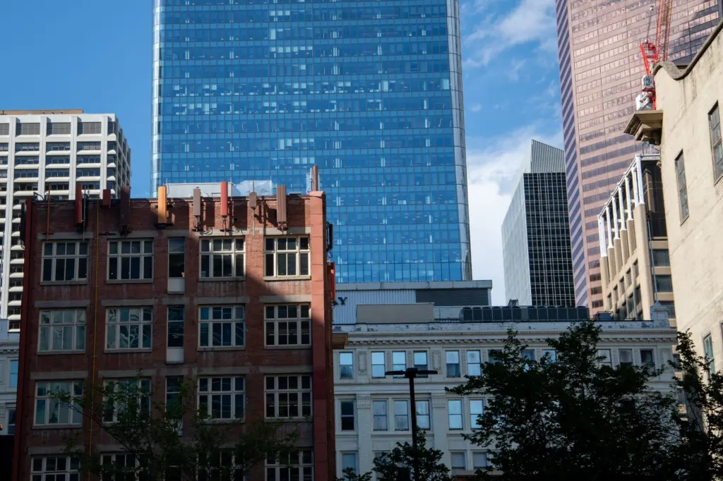
The Mission neighbourhood overview places it in the inner southwest, near the Elbow and beside the Beltline, Cliff Bungalow, Mount Royal and Erlton. Tourism Calgary describes the area’s restaurants, bakeries and boutiques. That combination makes it worth considering if your preferred day alternates walking with a relaxed break.
Pick a starting point in Mission, then trace the connection to the Elbow River pathway.
Keep the first outing modest: choose an identifiable turnaround, check how you will get back, and add distance only after you understand the route. If you want to cruise, confirm the relevant pathway designation with the City. If you want a skatepark session, select the park separately rather than treating Mission’s river location as a substitute.
For CTrain planning, enter your actual destination into Calgary Transit’s journey tools and assess the resulting approach.
Bridgeland and Riverside: pair a station with park time
Choose Bridgeland for a Blue Line arrival and time by the Bow River or on St. Patrick’s Island paths. Make the park your main stop and fit the rest of the day around it.
The Bridgeland overview places the neighbourhood northeast of downtown, with the Bow to its south and 1 Avenue NE as a main commercial strip. Tourism Calgary highlights brunch spots and Italian bakeries.
Bridgeland/Memorial Station is on the Blue Line at 1010 Memorial Drive NE. Check the walk from Bridgeland/Memorial Station to your chosen destination before adding extra stops.
Choose St. Patrick’s Island, the George C. King pedestrian bridge or Tom Campbell’s Hill as your focus. For a visit to St. Patrick’s Island, check the actual paths and any restrictions before taking a board.
East Village: put RiverWalk first
East Village is a strong option when your main objective is time beside the Bow River on RiverWalk. Its named downtown station reference is City Hall/Bow Valley College.
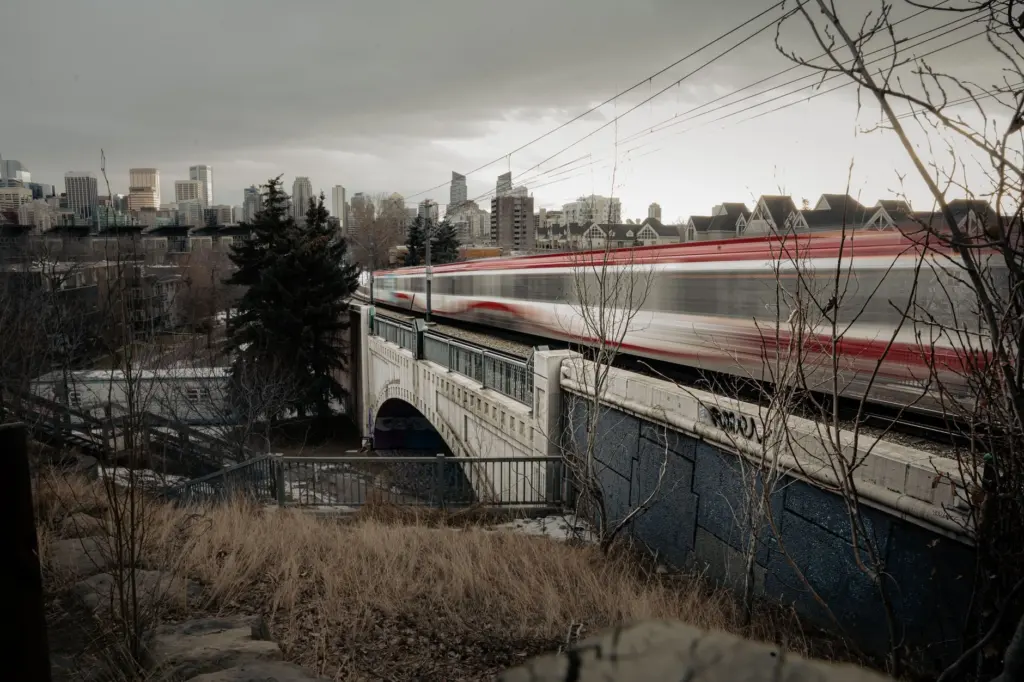
The East Village overview places the neighbourhood on the Bow’s south bank in eastern downtown. It identifies the Jack and Jean Leslie RiverWalk, Central Library, Studio Bell and the Simmons Building as landmarks. The George C. King Bridge links to St. Patrick’s Island.
For an active day, make RiverWalk the main route and choose one landmark as your meeting or turnaround reference. Open RiverWalk on Google Maps before setting a distance target.
Use the current name City Hall/Bow Valley College Station when checking your trip. For questions about choosing an evening route or interpreting local crime information, read the data-led guide to Calgary safety. It is more useful than assigning a safety label to an entire neighbourhood.
Beltline: the closest base for Cowboys Park and skate shops
Put the Beltline on your shortlist when skating comes first: Cowboys Park, at 1220 9 Avenue SW, sits just north of it in Downtown West. Choose your exact base around that destination if skating is the reason for the trip.
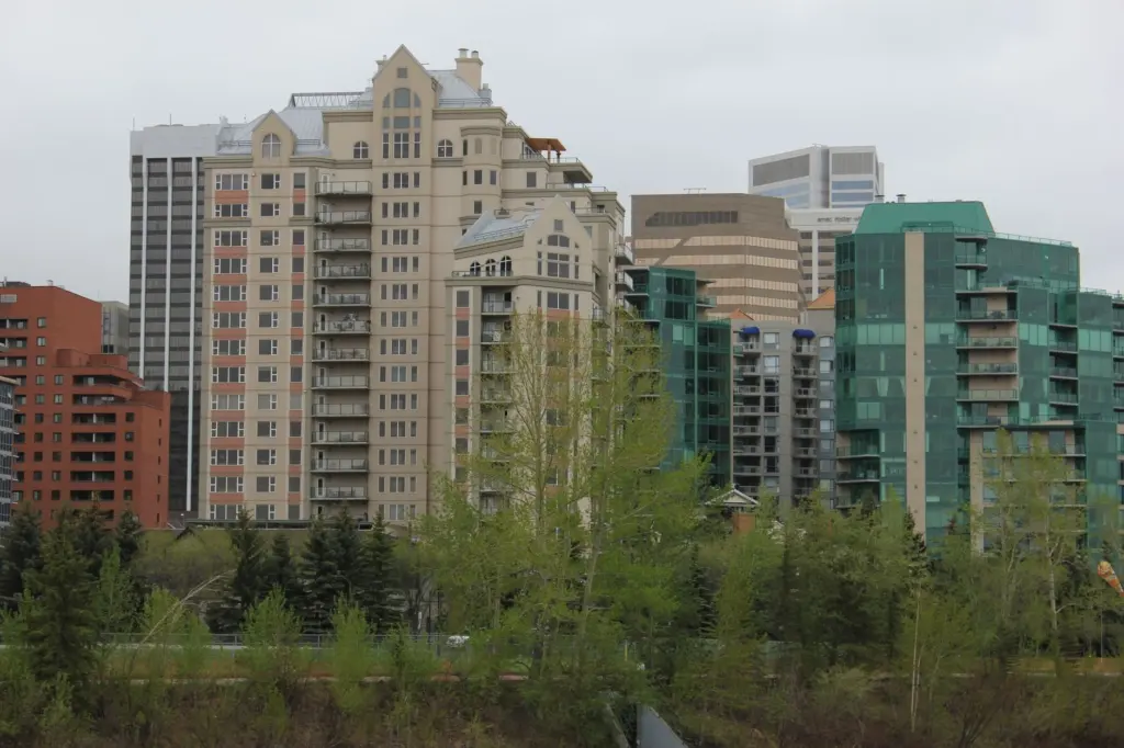
The Beltline overview places the neighbourhood immediately south of downtown and the railway tracks, roughly between 14 Street SW and the Elbow River, and between 9 and 17 Avenues SW. Its size makes a neighbourhood label less useful than a street address when you are comparing accommodation or meeting points.
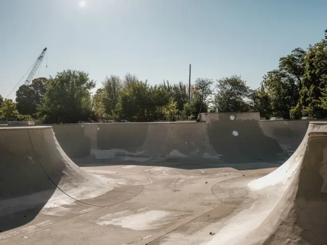
Cowboys Park, formerly Shaw Millennium Park, is at the western end of downtown beside the Mewata Armouries; the City’s Cowboys Park page places it in Downtown West and lists 75,000 square feet of skateable surface, with the skatepark open 24 hours. The City also notes that events and construction can close parts of the park, so check before making a special journey.
You can also make a gear stop in the Beltline at either of the verified Calgary skate shops: Ninetimes Skateshop at 1415 11 Street SW and The Source Snowboard & Skate at 738 11th Avenue SW. Their hours and product ranges are in the Calgary skate shop and indoor-session guide.
Save Cowboys Park in Google Maps and compare your starting point with its address. Use the Calgary skateparks by area guide to plan the session itself.
For a walking break, the Beltline reference identifies Central Memorial Park and Lougheed House; Tourism Calgary also highlights murals. CTrain references include Victoria Park/Stampede and downtown stations.
Build a day around your main activity
Pick one primary destination, one optional stop and a checked return journey. This keeps the neighbourhood choice connected to what you actually want to do, particularly when carrying a board.
- For a river outing: compare Kensington’s north-bank access with East Village’s RiverWalk, or choose Mission for an Elbow-focused walk.
- For a defined park route: use Inglewood’s documented Pearce Estate–sanctuary distance as a planning reference, while checking access and the road crossing.
- For a train-and-park day: compare Sunnyside and Bridgeland/Memorial with the specific destination you want to reach.
- For a skate session: start with Cowboys Park’s address and choose the rest of the day around it.
When the forecast changes your plans, the Calgary winter skating and indoor-session guide can help you consider alternatives. If carrying a board between stops is central to your visit, use the longboard versus skateboard overview to think through the type of session you want before choosing equipment.
Compare addresses before choosing a base
Put your accommodation, main activity and intended station on the same map. Compare the walking routes with carrying your board in mind.
For example, if Cowboys Park is the purpose of your visit, compare each potential base with 1220 9 Avenue SW before weighing optional food stops. If the Bow is your priority, choose the bank and crossing you want before deciding between Kensington and East Village. Let the session or river stretch decide the base, then fit the other stops around it.
For a group, share the exact meeting pin and agree whether everyone is walking, riding where permitted or carrying equipment between destinations.
Frequently asked questions
Which Calgary neighbourhood is best for a skatepark visit?
The Beltline is the clearest option in this comparison because Cowboys Park, at 1220 9 Avenue SW in Downtown West, is just north of it.
Which areas work for Bow River access?
Kensington has north-bank pathway access, while East Village has RiverWalk on the south bank. Bridgeland also connects your planning to the Bow and St. Patrick’s Island paths.
Does Inglewood have a CTrain station?
No operating station within Inglewood is established in the available information.
Can you choose a neighbourhood for longboarding?
You can compare river access, but confirm skateboard designation with the City before planning to ride a pathway. A nearby path, pedestrian bridge or cycling connection does not by itself establish permission for a longboard.
Sources
Tourism Calgary provides visitor context; the secondary neighbourhood and station references supply the general geography and named connections. Calgary Transit is the operator reference for checking your journey.
- Tourism Calgary: neighbourhood overview
- Calgary Transit: journey and service information
- City of Calgary: Pearce Estate Park–Inglewood Bird Sanctuary route
- Wikipedia: Kensington
- Wikipedia: Sunnyside Station
- Wikipedia: Inglewood
- Wikipedia: Mission
- Wikipedia: Bridgeland
- Wikipedia: Bridgeland/Memorial Station
- Wikipedia: East Village
- Wikipedia: Beltline
- Wikipedia: CTrain station list
- Wikipedia: Cowboys Park
- City of Calgary: Cowboys Park address, size and hours