This Calgary guide puts your skate session first. Choose a park, build in a river walk and find your way home by bus or CTrain.
Build your day around the skating you came for. Compare park features, choose a neighbourhood for food or a walk, and sort out the journey between them. Keep the plan flexible if the weather changes.
Put together a first-day plan
If you only have one day, put the skate session first. Follow it with a river walk and a neighbourhood stop, keeping the return journey and weather in mind. Save the full destination names and address quadrants before leaving.
- Skate first. Start at Cowboys Park in Downtown West and choose a manageable part of the skatepark.
- Switch to a river walk. Make Prince’s Island Park on the Bow your next outdoor stop. Keep the board with you for the walk.
- Add food or a browse. Choose Kensington for cafés, restaurants or vintage shops north of the Bow.
- Plan the return. Use the bus and CTrain information below to connect your chosen stops and get back. If weather changes the day, turn to the indoor option in the winter guide.
Calgary at a glance
Use these figures to budget for transit and get a sense of the city’s scale before choosing your stops. Conditions, hours and fares can change; check the linked official pages before your visit.
| Planning detail | Verified value and source |
|---|---|
| City population | 1,558,700, City estimate for April 1, 2025: City population outlook. |
| Regional pathways | Approximately 1,000 km, plus 96 km of trails: City pathway network. |
| Adult transit single ride | $4.00, effective January 2026: 2026 Calgary Transit fares. |
| Adult transit day pass | $12.65, effective January 2026, from the same Transit fare notice. |
| Cowboys Park skatepark | Open 24 hours, according to the City’s Cowboys Park page. |
| Nose Hill Park | 1,129 hectares: City park information. |
The population covers the city, not the wider metropolitan area. The pathway total spans the network; choose a specific stretch for your outing.
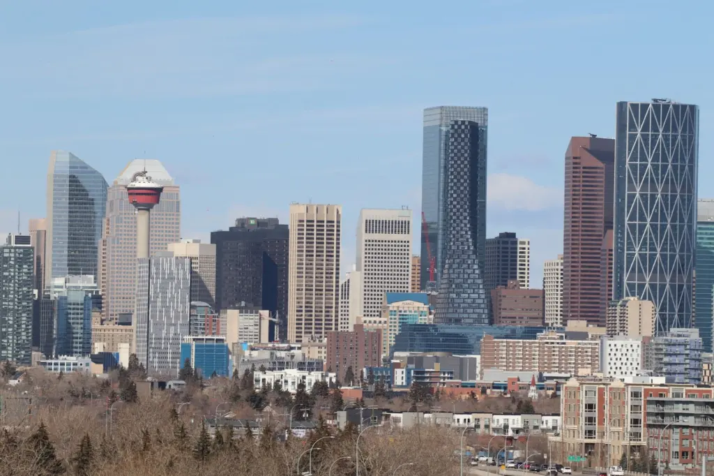
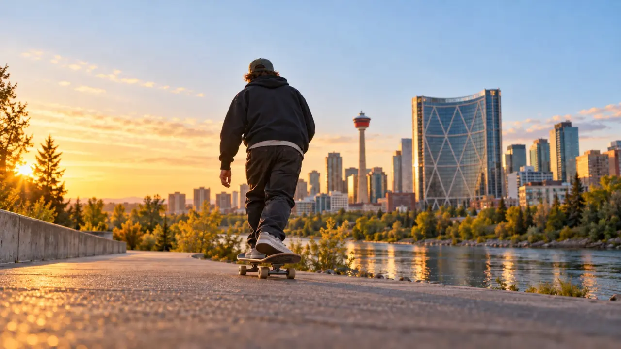
Use Calgary Tower, pictured above, as a landmark while getting your bearings.
Get oriented before choosing a destination
Use the Bow and Elbow rivers and the full address quadrant to orient your plans. Calgary is in southern Alberta at the rivers’ confluence, and its addresses use NW, NE, SW and SE suffixes.
The city sits more than 1,000 metres above sea level and uses Mountain Time; the Calgary geography overview provides that background. Save the complete address of your skatepark or meeting point, including its quadrant.
If skating is your priority, choose the park first and fit a walk or neighbourhood stop around it. For a sightseeing day, start with a river or park outing.
Choose a skatepark as your first anchor
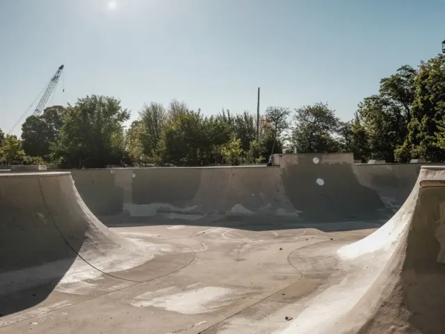
Cowboys Park is a clear starting point for a downtown skatepark plan, with its skatepark listed as open 24 hours. For other parts of the city, choose a park using the official directory and compare it with your starting location.
The City of Calgary skatepark directory is the primary place to check named parks. Cowboys Park, formerly Shaw Millennium Park, sits in Downtown West.
Want a different part of the city? Compare locations and published features in the Calgary skateparks guide by quadrant, then choose the park that fits your session.
At the park, watch the flow of other users and choose a manageable feature to practise. Starting from scratch? Work through the guide to learning skateboard basics before building a more ambitious session.
Plan river outings with the right map and rules
The City’s pathway map is the best starting point for a river outing, while skateboard access needs a separate rules check. The network follows the Bow and Elbow rivers and also connects other corridors and parks.
Choose a stretch of the Bow River or Elbow River, then use the official pathways and bikeways map to set your start, finish and turnaround. A named river corridor covers more than a short outing; choose the section you actually want to explore.
For a closer look at the river options, read the Bow and Elbow pathway planning guide. Choose a start, crossing and turnaround that fit the time you want outside. Before taking a skateboard onto a pathway, remember the qualification: the bylaw allows wheeled conveyances the City designates; check calgary.ca or 311 for the route and use you have in mind. Do not treat a cycling map as a skateboard permission map.
The City lists a pathway speed limit of 20 km/h unless otherwise posted, along with keeping right and signalling when passing. Its parks and pathways rules are worth reading alongside the route map. A limit is not a target for a busy outing; plan around sharing the space and being able to change your route.
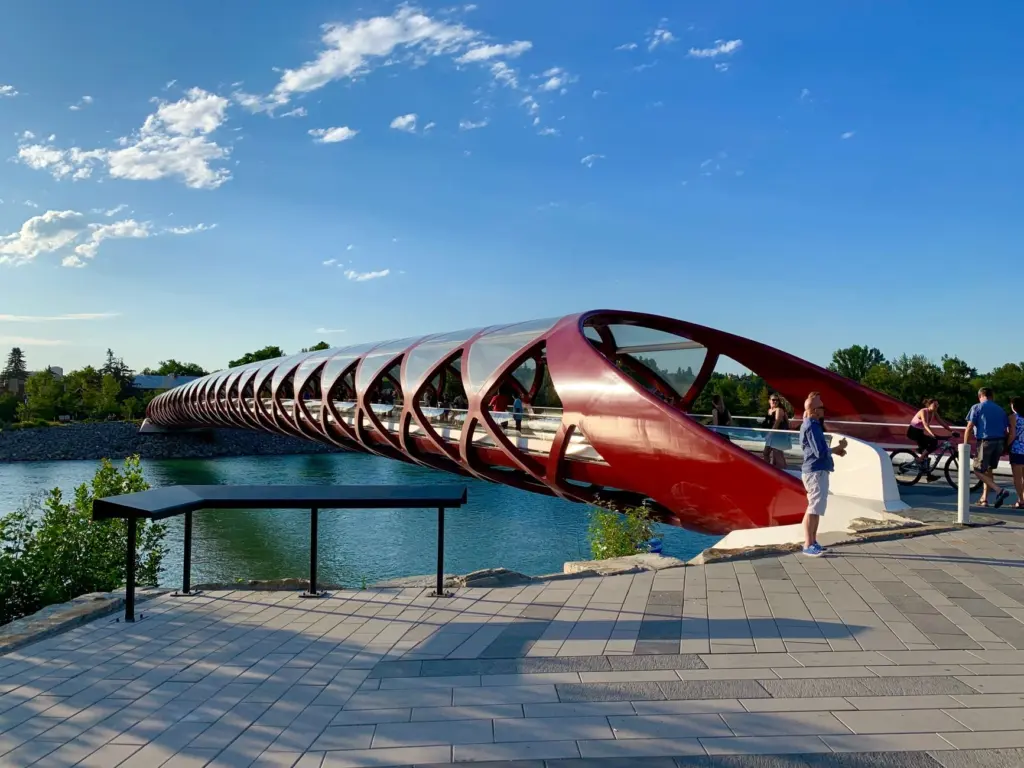
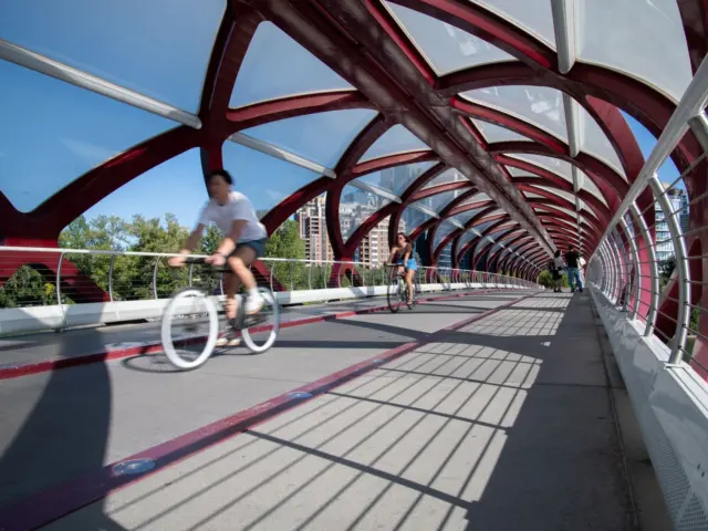
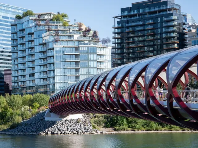
The photograph shows Peace Bridge;
Use transit to connect the parts of your day
Calgary Transit provides the bus and CTrain options for connecting your chosen destinations, with the same fare structure for both. Compare your expected rides with the published pass prices before buying.
The 2026 fare notice lists adult single rides at $4.00 and adult day passes at $12.65. For youth, the corresponding figures are $2.65 and $9.25. You can compare products on the Calgary Transit fares and passes page.
The CTrain has Red and Blue lines; use the official CTrain network map to identify the appropriate line and direction. Save both the outward and return journeys, especially if you finish somewhere different.
Compare costs using the trips you actually expect to make. A day pass may appeal when you want flexibility, but two single adult rides total $8.00 at the listed price.
Choose a neighbourhood for the rest of the outing
Give the rest of your day a purpose too: a meal after skating, a browse through shops or a walk. Choose the neighbourhood around that stop and your main activity.
Tourism Calgary’s neighbourhood guides describe Kensington as just north across the Bow River from downtown, with vintage shops, cafés and restaurants; Sunnyside Station on the CTrain Red Line serves the area.
Inglewood’s main street is 9 Avenue SE; Mission’s shops and restaurants centre on 4 Street SW. Choose between them based on the rest of your itinerary, and keep the address suffix when saving an individual stop.
Bridgeland is just northeast of downtown, while the Beltline is south of the downtown core. East Village is another neighbourhood covered by Tourism Calgary.
To decide where to base yourself or spend the rest of the afternoon, compare river access, stations and local stops in the neighbourhood guide for active Calgary days.
Make room for a park visit without the board
Nose Hill, Prince’s Island, Bowness and Fish Creek offer ways to build an outdoor day around a park visit.
The City describes Nose Hill Park in the northwest as a 1,129-hectare park with trails and off-leash areas.
Tourism Calgary places Prince’s Island Park downtown on the Bow and Bowness Park in the northwest, with a lagoon.
Fish Creek Provincial Park is in the south; Tourism Calgary describes more than 100 km of hiking and biking trails there. The Tourism Calgary park overview provides the source descriptions for these choices.

Let weather shape the plan before you leave
Choose your outdoor window before committing to a park. The Calgary weather and chinook guide uses labelled historical climate normals to help you weigh the seasons.
Check Environment Canada’s climate normals portal for long-term context and Government of Canada weather information for current conditions.
When outdoor plans fall through, build a session around The Compound indoor skatepark. The winter skating and gear-stop guide covers that option plus Ninetimes and The Source, the two verified skate shops in the Beltline.
Keep access and personal comfort in the plan
The City’s street-use guidance says skateboards and in-line skates are permitted on most sidewalks and boulevards unless posted otherwise, without interfering with pedestrians. That statement should not be extended automatically to pathways or to every other public space. Read signs where you arrive and make the activity fit the location.
Think through the journey home as well as the session. The Calgary safety guide for visitors and outdoor outings helps you assess local information and plan for transit, rivers and cold weather.
With friends, agree who wants to skate, who wants to walk and where to meet if you split up. Keep the optional stop optional so everyone can finish the day comfortably.
Frequently asked questions
Where should you start if skating is the priority?
Start by comparing a specific park with your accommodation or arrival point. Cowboys Park is a downtown option with a skatepark listed as open 24 hours; the City directory and dedicated skatepark guide help you compare other locations.
Can you assume skateboards are allowed on river pathways?
No blanket permission is established here. The bylaw allows wheeled conveyances the City designates; check calgary.ca or 311 for your intended use and pay attention to local signs.
How much is an adult Calgary Transit ride?
The January 2026 fare notice lists an adult single ride at $4.00 and an adult day pass at $12.65.
Do you need a different plan for winter?
Yes: make winter plans conditional on the weather and the surface you actually find. The winter skating guide gives you a separate starting point for indoor sessions, outdoor decisions and gear shopping.
Sources
These sources support the city facts, destination descriptions and dated prices used in this guide.
- City of Calgary: economic and population outlook.
- City of Calgary: skateboarding and skateparks; Cowboys Park official information.
- City of Calgary: pathways and trails; official digital pathway map.
- Calgary Transit: January 2026 fare changes; CTrain map, December 2025.
- Tourism Calgary: neighbourhoods; Tourism Calgary: park descriptions.
- City of Calgary: Nose Hill Park.
- City of Calgary: street use; City of Calgary: parks and pathways bylaws.
- Wikipedia: Calgary geography and time zone.
- Government of Canada: climate normals; Government of Canada: weather.